Back to basics: using maps in primary history
Primary History article

Using maps in primary history
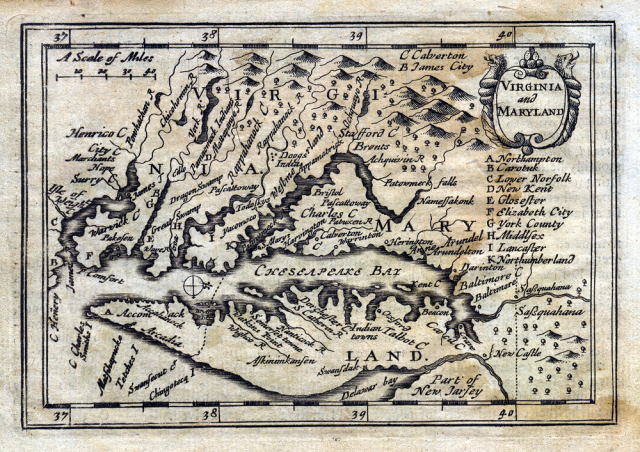
Maps tend to be more associated with geography but they have always been vital to history. This article focuses on the way maps have evolved in history, what they provide for the historian and ways in which they can be used when teaching primary history. A chronological account of the main developments from the ancient world to the present is accompanied by some possible questions and tasks.
In addition to using maps for particular eras and themes, there are also some broader activities and questions that pupils may want to engage with. These could include:
1. Pupils consider what a map is. They can look at examples to see that they are of many kinds and for many purposes. Ask them why we need maps. What symbols are used to show historical features?
2. Pupils compile their own plan or map of the locality showing places of historical interest and relevance.
3. Pupils use one or more maps to address an historical concept such as cause and effect – why was this settlement sited where it was?...
This resource is FREE for Primary HA Members.
Non HA Members can get instant access for £2.49

